

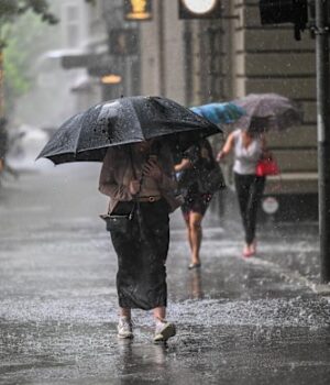
source : the age
Victoria will be plunged into wild winter weather once more as a series of cold fronts rolls across the state from Saturday night, dusting the top of the Victorian Alps with snow.
While Melburnians were treated to sunny, late-winter conditions and a forecast top of 17 degrees on Saturday, temperatures will fall on Sunday as drizzle and strong winds dominate.
Monday will bring the heaviest showers of the cold snap – with some areas receiving up to 15mm of rain – while much of Victoria welcomes “healthy” double figure rain totals, according to the Bureau of Meteorology’s Helen Reid.
The meteorologist said multiple cold fronts were now working their way across from Western Australia, the first of which is expected to arrive into western Victoria on Saturday, before moving across the rest of the state.
“For Melbourne, that does mean that Saturday will probably be not too bad, we might get a late shower overnight and it’ll be a fairly good northerly breeze as well,” she said.
“Sunday is going to be a wet day, windy and cold – we’re looking at it being several degrees colder than [Saturday] – and we might get even double [millimetre] figures of rainfall tomorrow.
“Then Monday is going to be very, very wet… it is just going to be that blustery, rainy winter we haven’t been enjoying for the past couple of weeks.”
Melbourne will remain drizzly across Tuesday and into Wednesday, where the city is expected to reach a top temperature of 14 degrees.
“There is just a slight shift back to what we’d usually see in winter, to be able to get those cold fronts drifting through,” Reid said. “It will be associated with a couple of low-pressure systems helping to drive that quick succession of two fronts over the next few days.”
Be the first to know when major news happens. Sign up for breaking news alerts on email or turn on notifications in the app.


