Source : INDIA TODAY NEWS
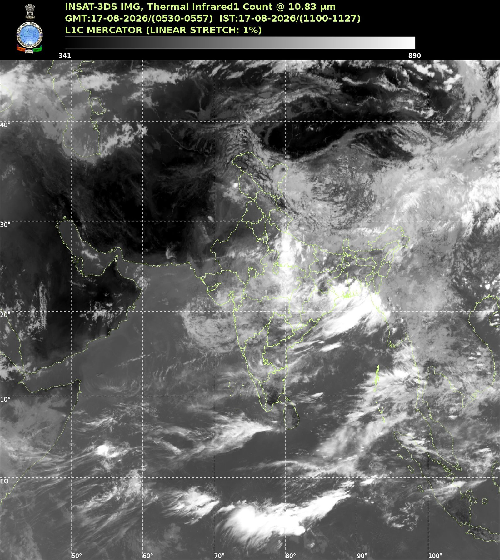
India’s southwest monsoon continues to struggle despite active weather systems over eastern and central parts of the country, with satellite imagery revealing an unusually quiet Arabian Sea and nationwide rainfall remaining 13% below normal since June 4.
Latest satellite pictures from INSAT-3DS and international weather monitoring systems show limited cloud activity over the Arabian Sea, a key moisture source for the monsoon.
advertisement
The subdued conditions come as a ridge over northwest India continues to suppress widespread rainfall across large parts of western and northwestern India, restricting the monsoon’s reach.
While the monsoon remains active over eastern India due to a low-pressure system that recently weakened after moving inland from the Bay of Bengal, weather experts say rainfall remains unevenly distributed across the country.
The current weather pattern is expected to bring the heaviest rainfall over eastern Madhya Pradesh and Chhattisgarh, where the lingering effects of the system continue to fuel showers and thunderstorms. Moderate to heavy rain is also likely across parts of eastern Uttar Pradesh, Jharkhand, Bihar and Odisha over the next few days.
In contrast, large areas of Rajasthan, Gujarat, Haryana, Delhi-NCR and western Uttar Pradesh are likely to remain largely dry, with only isolated and brief showers.
The India Meteorological Department (IMD) said isolated thunderstorm activity is possible over Jammu and Kashmir, northern Punjab and parts of Himachal Pradesh on Tuesday as moisture interacts with local weather systems over the western Himalayan region.
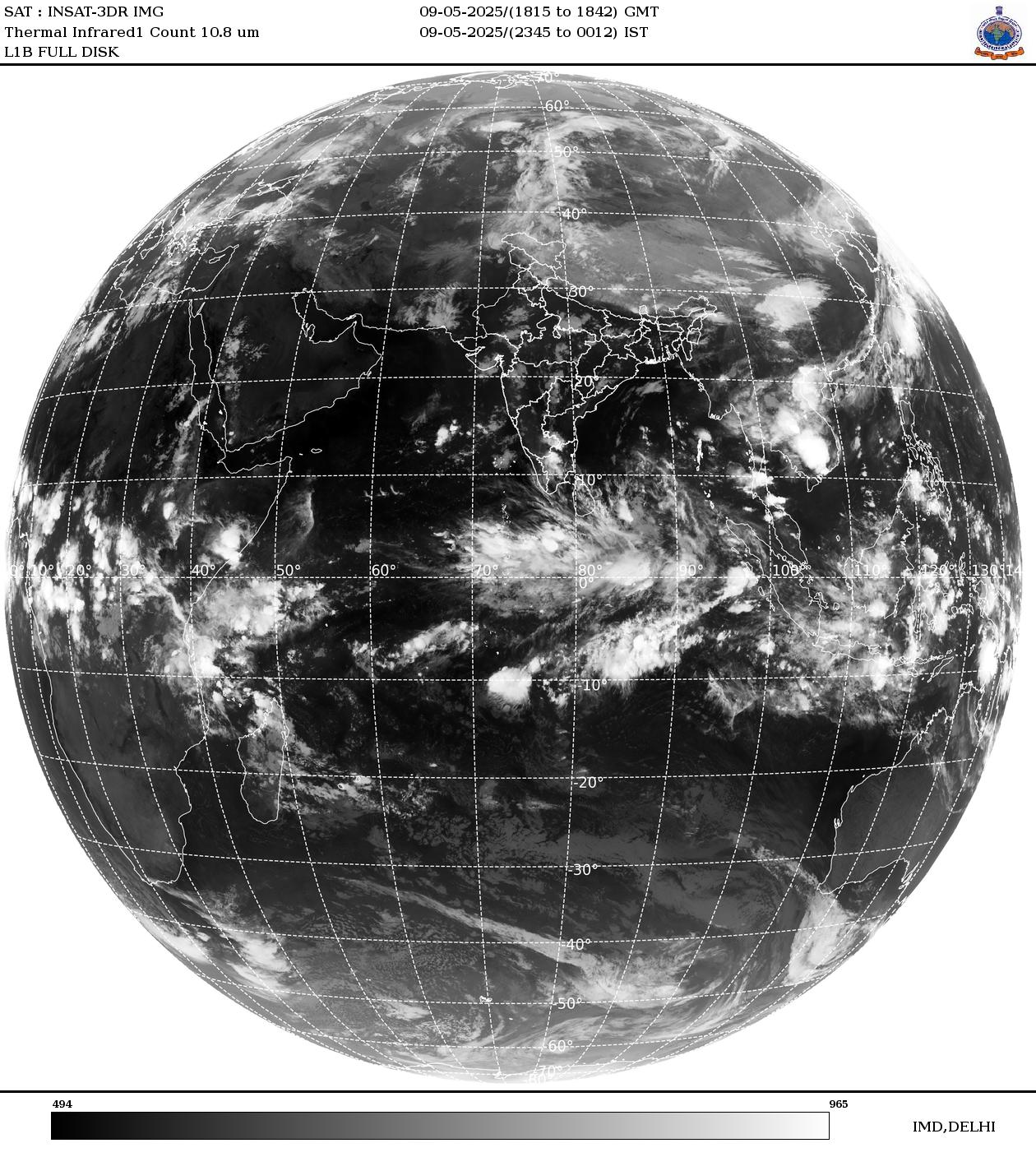
Despite the weak monsoon conditions across northwestern India, meteorologists have ruled out an early withdrawal of the southwest monsoon. Current assessments indicate there is very little chance of monsoon withdrawal beginning before September 5 over northwest Rajasthan.
Instead, the withdrawal process is now expected to commence between September 10 and September 18, broadly in line with the climatological schedule.
This suggests that while rainfall activity may remain subdued over several regions, the monsoon circulation itself is likely to persist through the first half of September.

Forecasters warn that eastern Madhya Pradesh and Chhattisgarh could witness the greatest impact from the ongoing weather pattern, with repeated spells of rain likely over the coming days.
However, unless fresh and stronger low-pressure systems develop over the Bay of Bengal, the all-India rainfall deficit may remain elevated, raising concerns for agriculture as the monsoon enters its final phase.
– Ends
SOURCE :- TIMES OF INDIA