Source : INDIA TODAY NEWS
Monsoon activity continues across parts of India as a low-pressure system over central India drives fresh cloud formation and rainfall, even as weather models indicate that the season could begin weakening significantly after September 10.
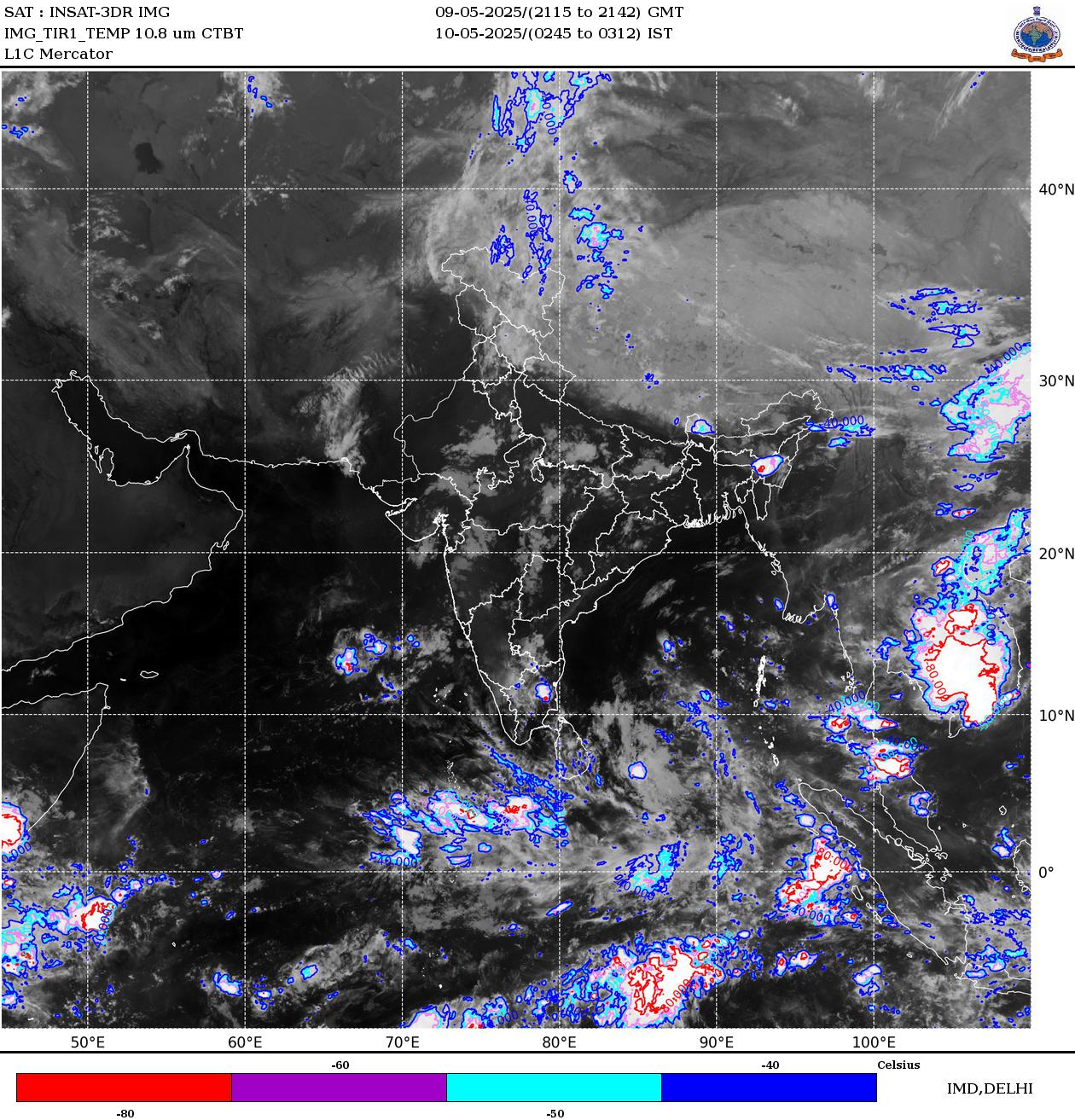
Latest satellite imagery from the INSAT-3DS weather satellite shows extensive cloud development bubbling over central and eastern India, with thick convective clouds associated with an active weather system moving across the monsoon belt.
advertisement
According to the latest weather analysis by the IMD, the Low-Pressure Area over west Jharkhand and adjoining regions has shifted towards northeast Madhya Pradesh and its neighbourhood as of 5:30 am IST on August 26.
The system is accompanied by a cyclonic circulation extending up to 5.8 kilometres above mean sea level and is tilting southwards with height. Meteorological conditions suggest that the system is likely to move nearly west-northwestwards during the next 24 hours, potentially influencing rainfall across parts of central and northern India.
The satellite picture reveals a broad zone of clouds stretching across Madhya Pradesh, Uttar Pradesh and adjoining eastern and northeastern states. Such systems act as engines for monsoon rainfall, drawing moisture inland and creating favourable conditions for thunderstorms and heavy showers.
However, the longer-term outlook indicates that the monsoon may gradually begin losing strength after the first half of September.
After September 10, the upper-level jet stream is expected to shift southwards towards central India. This could allow significant amounts of dry air to spread across much of northwest and central India, reducing the moisture needed to sustain widespread monsoon rainfall.
The changing atmospheric pattern could also trigger the early stages of the southwest monsoon withdrawal process from northwestern India around mid-September. If the forecast pattern holds, rainfall activity across several parts of northwest and central India could decline sharply during the latter half of the month.
For now, however, the active low-pressure system continues to support rainfall.
WHAT WEATHER TO EXPECT IN DELHI-NCR TODAY?
Delhi-NCR is likely to see a reduction in widespread rainfall on Wednesday as dry winds strengthen and the main zone of atmospheric convergence shifts towards Uttar Pradesh.
Morning hours are expected to remain largely dry across most parts of the region. However, daytime heating could trigger isolated thunderstorms during the afternoon and evening.
These storms may bring short spells of moderate to heavy rain over a few areas, particularly Noida, Ghaziabad and Faridabad, while isolated showers are also possible over Delhi and Gurgaon.
Rainfall coverage is expected to remain more concentrated towards east NCR and adjoining Uttar Pradesh, rather than being widespread across the entire Delhi-NCR region.
As the monsoon enters its final stretch, the next two weeks will be crucial in determining how much additional rainfall India receives before the seasonal withdrawal begins.
– Ends
SOURCE :- TIMES OF INDIA