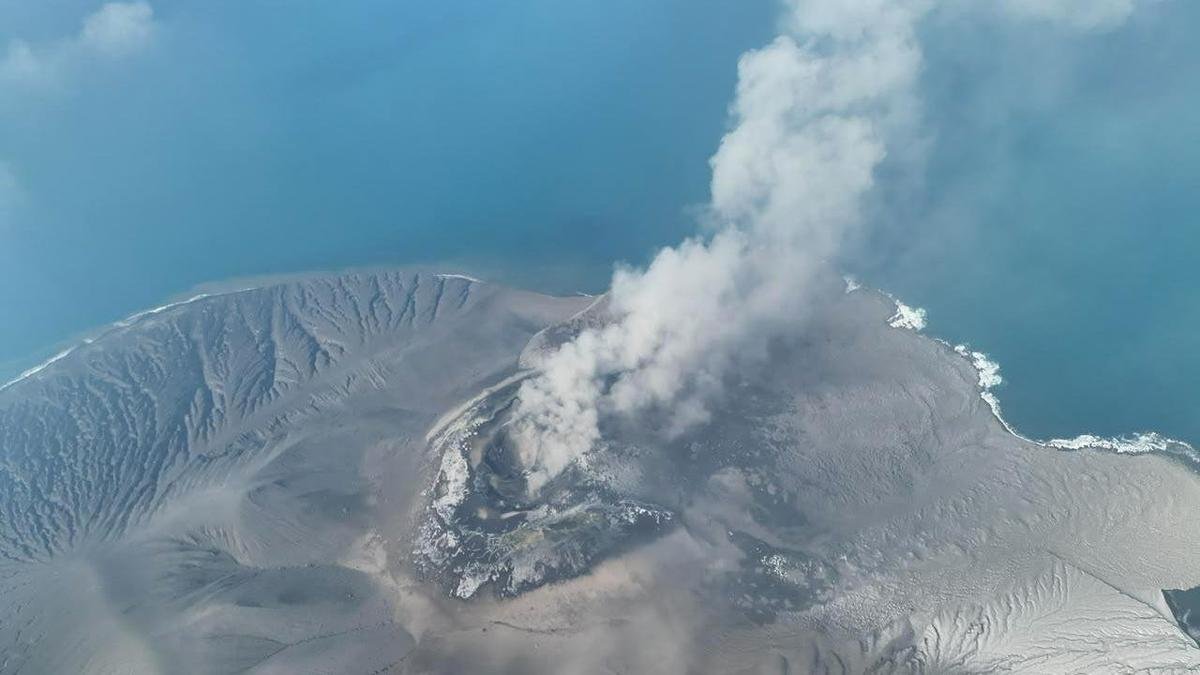
Source : Perth Now news
Indonesia’s Anak Krakatau volcano has expanded by 32.8 hectares after eruptions produced lava flows, while satellite imagery detected two new land formations nearby.
The increase was identified by comparing Sentinel satellite images from August 8 and September 15, the Indonesia’s Geology Agency posted on social media in late September
Anak Krakatau erupted for 25 hours from September 4 to September 6, sending lava towards the northwest, west and southwest.
Sentinel imagery from September 23 showed a new formation about 760 metres northwest of Anak Krakatau’s coastline and another about 495 metres southeast
The two formations, on either side of the volcano’s crater, could be linked to the eruptions, the agency said. More recent data and further analysis were needed to determine whether they were new eruption centres, it said
Mount Anak Krakatau’s eruptions sent ash over Jakarta and surrounding areas, caused several airports to be closed, affecting more than 340,000 travellers, with 2961 flights cancelled, delayed or diverted
Anak Krakatau is one of about 130 active volcanoes in Indonesia, which straddles the “Pacific Ring of Fire”, a highly seismically active zone where different plates on the earth’s crust meet to create a large number of earthquakes and volcanic eruptions.
Anak Krakatau, which means child of Krakatau, began emerging a century ago from the area previously occupied by Krakatau, then known as Krakatoa.
The older volcano destroyed itself in mass eruptions in 1883, which killed more than 36,000 people after triggering a series of tsunamis.