

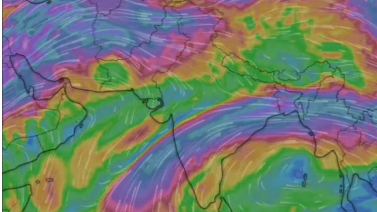
Source : INDIA TODAY NEWS
The weather system that swept through North India this week is finally moving on.
This powerful phenomenon, known as a Western Disturbance, which provided a welcome break from the harsh conditions across the region, is set to exit the Indian subcontinent by Monday night.
As it clears the area, residents will see the final signs of its influence before the atmosphere undergoes its next transition.
UNRAVELLING THE WESTERN DISTURBANCE PHENOMENON
To understand why this system brought such a change to the atmosphere, we must look at what a Western Disturbance actually is.
Think of it as a low-pressure pocket of air that travels thousands of kilometres from the Mediterranean Sea.
As these systems move eastward, they carry moisture and cooler air across Iran, Afghanistan, and Pakistan before hitting the Himalayas.
When this air arrives, it forces the hot, stagnant air over North India to rise.
As this air rises, it cools down and forms clouds, leading to the rain, dust storms, and gusty winds we witnessed over the last few days.
This process, often called cyclogenesis, is the birth of a weather system where low atmospheric pressure draws in surrounding air to create instability.
It is this instability that brought the rain we observed, cooling the local environment significantly.
TRACKING THE FINAL SPELLS OF RAINFALL
As the system drifts toward the northeast, its influence over the plains of Punjab, Haryana, and Delhi-NCR is beginning to wane.
While the widespread cloud cover is thinning, the remaining moisture in the atmosphere will likely trigger light to moderate showers through Monday.
These final spells are important for the soil, as they help retain moisture.
Residents in the foothills should remain alert for sudden, sharp bursts of wind as the disturbance makes its final transit.
The India Meteorological Department continues to monitor the movement of this system to ensure that its exit does not lead to any unexpected severe weather spikes.
PREPARING FOR THE SEASONAL MONSOON TRANSITION
With this weather system vacating the region, the focus now shifts back to the southwest monsoon.
Although there has been some discussion regarding whether this disturbance might have slightly altered the initial flow of monsoon winds, the long-term outlook remains tied to the broader arrival of the monsoon currents.
As we bid farewell to this particular weather event, we should prepare for the next phase of the summer cycle.
This period of transition is a vital part of the agricultural calendar, helping to prepare the land between the rabi harvest and the sowing of the next crop. Keeping an eye on official updates is the best way to navigate the shift as we wait for the full arrival of the monsoon season.
– Ends
SOURCE :- TIMES OF INDIA