

Source : INDIA TODAY NEWS
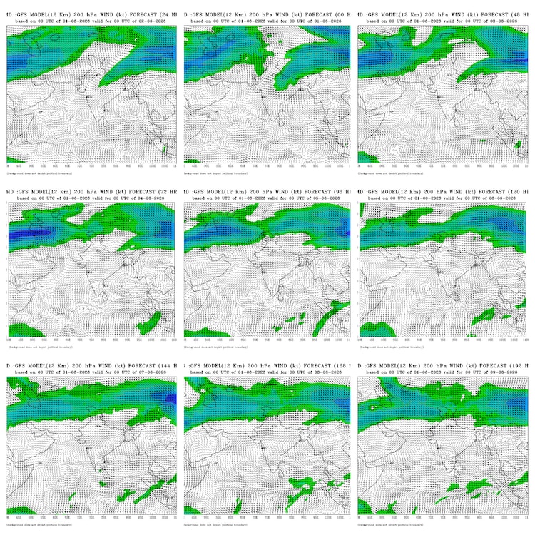
Latest runs of the India Meteorological Department’s weather model indicate that strong upper-level winds essential for a robust monsoon are likely to establish over South India only after June 5-6.
This suggests the onset of the southwest monsoon over Kerala could be mild or weak rather than vigorous, with the full seasonal push building gradually.
The southwest monsoon is India’s annual lifeline. The monsoon system brings warm, moisture-laden winds from the Indian Ocean that bring the bulk of the country’s rainfall between June and September, supporting agriculture, filling reservoirs, and providing relief from summer heat for millions.
WHAT IS THE LATEST IMD MONSOON FORECAST?
The Global Forecast System (GFS) is a powerful computer model used by the IMD.
The weather forecast model processes vast amounts of atmospheric data to forecast weather patterns several days in advance.
According to its recent outputs, an incoming Western Disturbance, which is a weather system from the west that brings moisture-laden winds, needs to move out before the key upper-level easterly winds can strengthen properly over southern India.
Until then, the initial monsoon flow over Kerala is expected to remain subdued.
The monsoon this year has been evasive, leading to IMD’s forecast being missed multiple times. The IMD had initially forecast the monsoon’s arrival over Kerala around May 26.
That timeline has since shifted, with current expectations pointing to June 2–4 for official onset.
Pre-monsoon showers have already brought some rain to parts of Kerala, but the complete set of conditions required for the declaration is still developing.
For the IMD to declare a monsoon onset, three conditions must be met simultaneously.
These three conditions include sustained rainfall across at least 60% of Kerala’s designated weather stations, westerly winds of a certain speed over the Arabian Sea, and sufficient cloud cover.

Right now the rain and the cloud cover are up to par, but the westerly winds over Kerala are falling short. The reason behind the weak winds is the cyclonic activity that occurred in the Bay of Bengal that weakened the monsoon wind flow.
But experts are expecting the winds to begin strengthening from Monday, June 1.
WHAT IS MONSOON LOOKING LIKE?
Essentially, the monsoon is right at our door, and could be arriving in mere days.
How good the season will be is, however, another question altogether.
The IMD has also forecast below-normal rainfall for the country as a whole this year, influenced by emerging El Nino conditions in the Pacific.
The monsoon rainfall was initially forecast by the IMD to be at 92% of the long-period average (LPA) for the season. This forecast was downgraded last week by the IMD to 90% of the LPA, prompting concerns over how badly the emerging El Nino would impact a pivotal season.
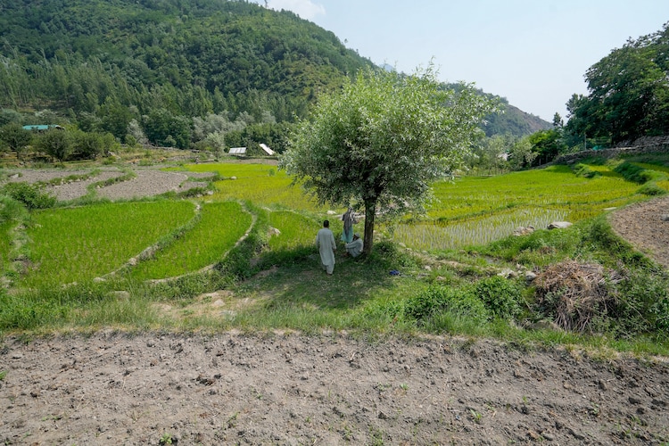
Northern and central India continue to face severe heatwaves, making timely rains critical for farmers preparing for the sowing season.
While models can change with new data, the current picture suggests a gentle start to the monsoon followed by gradual strengthening.
– Ends
SOURCE :- TIMES OF INDIA


