Source : INDIA TODAY NEWS
Typhoon Dolphin has slammed into eastern China, unleashing torrential rain and powerful winds, but nearly 4,000 kilometres away, India is facing a very different consequence of an increasingly active Pacific, a weakening monsoon.
Dolphin, the most powerful tropical cyclone to hit China so far this year, made landfall near Yuhuan in Zhejiang province on August 9 with sustained winds of around 151 kmph.
advertisement
More than a million people were evacuated as the storm brought widespread flooding risks across eastern China.
But the bigger story for India lies not in Dolphin’s rainfall, but in the highly disturbed atmospheric conditions across the Pacific Ocean.
HOW IS TYPHOON DOLPHIN STRANGLING INDIAN MONSOON RAIN?
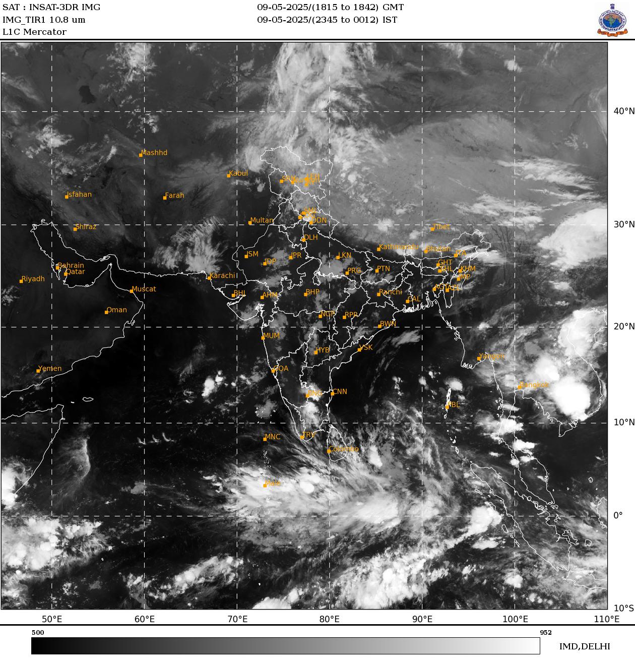
Satellite imagery shows a hyperactive Pacific, with multiple weather systems developing across the tropical and western Pacific. Such intense activity can influence the large-scale atmospheric circulation that connects the Pacific with the Indian monsoon region.
This is where the El Nino connection becomes important.
During El Nino-type conditions, the distribution of tropical convection and rising air shifts eastward towards the Pacific. This can alter the Walker circulation and atmospheric waves reaching the Indian Ocean, potentially suppressing convection and weakening the mechanisms that generate India’s rain-bearing systems.
Research has established a strong relationship between Pacific convection, atmospheric circulation and Indian monsoon variability.
The result could be particularly significant for the Bay of Bengal, the breeding ground for many of India’s monsoon low-pressure systems.
Interestingly, the Pacific does not always suppress the Indian monsoon directly. In fact, disturbances from the western North Pacific can travel westward and help trigger low-pressure systems over the Bay of Bengal.
Research shows that more than one-third of monsoon low-pressure systems can originate through downstream amplification of Pacific disturbances, with some tropical cyclones in the western North Pacific providing the atmospheric trigger.
That makes the current situation complicated.
PACIFIC OCEAN ON OVERDRIVE
A hyperactive Pacific can sometimes send disturbances towards the Bay of Bengal and revive India’s monsoon.
But under an unfavourable El Nino-like background circulation, the same Pacific activity can coincide with suppressed convection over the Indian monsoon domain.
For India, the warning signs are already visible. Monsoon cloud cover has reduced across large areas, including over the Bay of Bengal, while fewer organised rain-bearing systems are developing over the country.
The monsoon is therefore not disappearing because Typhoon Dolphin directly “stole” India’s rain. Instead, Dolphin is one part of a much larger atmospheric picture unfolding across the Pacific.
The key question now is whether the Pacific disturbances will eventually generate a new low-pressure system over the Bay of Bengal, or whether the El Nino-like circulation will continue to choke India’s monsoon engine.
– Ends
SOURCE :- TIMES OF INDIA